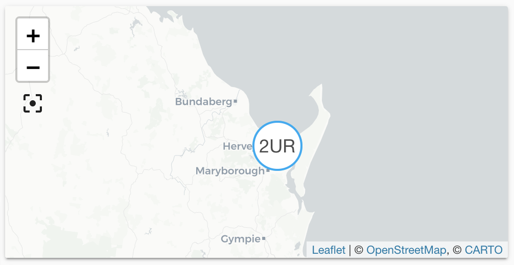
Queensland Bushfire Alert
The qld_bushfire platform lets you integrate a
GeoRSS feed containing bushfire alerts
Entities are generated, updated and removed automatically with each update
from the feed. Each entity defines latitude and longitude and will be shown
on the default map automatically, or on a map card by defining the source
qld_bushfire. The distance in kilometers is available as the state
of each entity.
The data is updated every 5 minutes.
The material used by this integration is provided under the Creative Commons Attribution 4.0 license
Configuration
To integrate the Queensland Bushfire Alert feed, add the following lines to
your configuration.yamlconfiguration.yaml 文件是 Home Assistant 的主要配置文件。它列出了要加载的集成及其特定配置。在某些情况下,需要直接在 configuration.yaml 文件中手动编辑配置。大多数集成可以在 UI 中配置。 [Learn more] file.
在更改了configuration.yamlconfiguration.yaml 文件是 Home Assistant 的主要配置文件。它列出了要加载的集成及其特定配置。在某些情况下,需要直接在 configuration.yaml 文件中手动编辑配置。大多数集成可以在 UI 中配置。 [Learn more] 文件后,重启 Home Assistant 以应用更改。 该集成现在显示在集成页面的 设置 > 设备与服务 下。其实体在集成卡片上以及实体标签上列出。
# Example configuration.yaml entry
geo_location:
  - platform: qld_bushfire
Configuration Variables
List of category names found in the feed. Only alerts from the feed that match any of these categories are included. Valid categories are ‘Emergency Warning’, ‘Watch and Act’, ‘Advice’, ‘Notification’ and ‘Information’.
The distance in kilometers around Home Assistant’s coordinates in which bushfire alerts are included.
Latitude of the coordinates around which events are considered.
Latitude defined in your configuration
State attributes
The following state attributes are available for each entity in addition to the standard ones:
| Attribute | Description |
|---|---|
| latitude | Latitude of the bushfire alert. |
| longitude | Longitude of the bushfire alert. |
| source |
qld_bushfire to be used in conjunction with geo_location automation trigger. |
| external_id | The external ID used in the feed to identify the bushfire alert in the feed. |
| title | Original title from the feed. |
| publication_date | Date and time when this alert was first published. |
| updated_date | Date and time when this alert was last updated. |
| status | Status of the alert, for example, “Patrolled”, “Going”, “Contained” |
Full configuration
# Example configuration.yaml entry
geo_location:
  - platform: qld_bushfire
    radius: 30
    categories:
      - 'Emergency Warning'
      - 'Watch and Act'
    latitude: -24.85
    longitude: 152.35