NSW Rural Fire Service Incidents
The nsw_rural_fire_service_feed platform lets you integrate a GeoJSON feed provided by the NSW Rural Fire Service
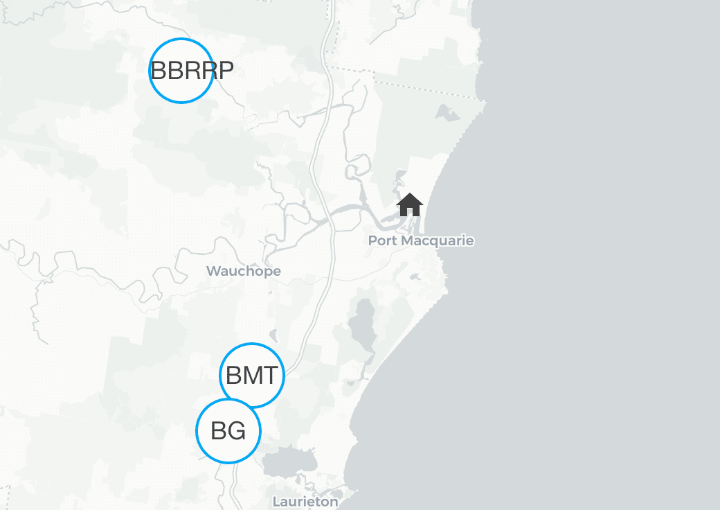
Entities are generated, updated and removed automatically with each update from the feed. Each entity defines latitude and longitude and will be shown on the map automatically. The distance in kilometers is available as the state of each entity.
For example, you can use the entity’s information to trigger actions based on the proximity and severity of a fire incident. You can set up automations to close windows, activate sprinklers or remind yourself to clean the gutters if there is a fire in your area.
The data is updated every 5 minutes.
Configuration
To integrate the NSW Rural Fire Service Incidents feed, add the following lines to your configuration.yamlconfiguration.yaml 文件是 Home Assistant 的主要配置文件。它列出了要加载的集成及其特定配置。在某些情况下,需要直接在 configuration.yaml 文件中手动编辑配置。大多数集成可以在 UI 中配置。 [Learn more] file.
在更改了configuration.yamlconfiguration.yaml 文件是 Home Assistant 的主要配置文件。它列出了要加载的集成及其特定配置。在某些情况下,需要直接在 configuration.yaml 文件中手动编辑配置。大多数集成可以在 UI 中配置。 [Learn more] 文件后,重启 Home Assistant 以应用更改。 该集成现在显示在集成页面的 设置 > 设备与服务 下。其实体在集成卡片上以及实体标签上列出。
# Example configuration.yaml entry
geo_location:
  - platform: nsw_rural_fire_service_feed
Configuration Variables
The distance in kilometers around Home Assistant’s coordinates in which incidents are included.
List of incident category names found in the feed. Only incidents from the feed that match any of these categories are included. Valid categories are ‘Emergency Warning’, ‘Watch and Act’, ‘Advice’, ‘Not Applicable’.
None. Any incident regardless of its category will be included.
Latitude of the coordinates around which events are considered.
Latitude defined in your configuration.yaml
State Attributes
The following state attributes are available for each entity in addition to the standard ones:
| Attribute | Description |
|---|---|
| latitude | Latitude of the incident. |
| longitude | Longitude of the incident. |
| source |
nsw_rural_fire_service_feed to be used in conjunction with geo_location automation trigger. |
| external_id | The external ID used in the feed to identify the incident in the feed. |
| category | One of ‘Emergency Warning’, ‘Watch and Act’, ‘Advice’, ‘Not Applicable’. |
| location | Location details of where the incident takes place. |
| publication_date | Date and time when this incident was last updated. |
| council_area | Council area in which this incident takes place. |
| status | One of ‘Under Control’, ‘Being Controlled’, ‘Out of Control’. |
| type | Incident type, for example ‘Bush Fire’, ‘Grass Fire’ or ‘Hazard Reduction’. |
| fire |
True if this incident is a fire, False otherwise. |
| size | Size in hectare |
| responsible_agency | Agency responsible for this incident. |
Advanced Configuration Example
Depending on your personal circumstances with regards to bush fire risk you may want to adjust the radius and define the categories of fire warnings you are actually interested in.
# Example configuration.yaml entry
geo_location:
  - platform: nsw_rural_fire_service_feed
    entity_namespace: "nsw_fire_service_feed"
    radius: 10
    categories:
      - 'Emergency Warning'
      - 'Watch and Act'
      - 'Advice'