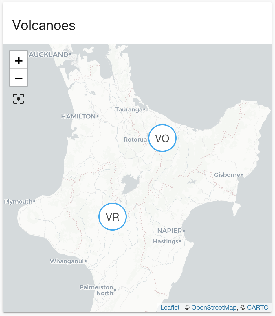
GeoNet NZ Volcano
The geonetnz_volcano integration lets you use a GeoJSON feed provided by
New Zealand’s GeoNet
Entities are generated and updated automatically with each update
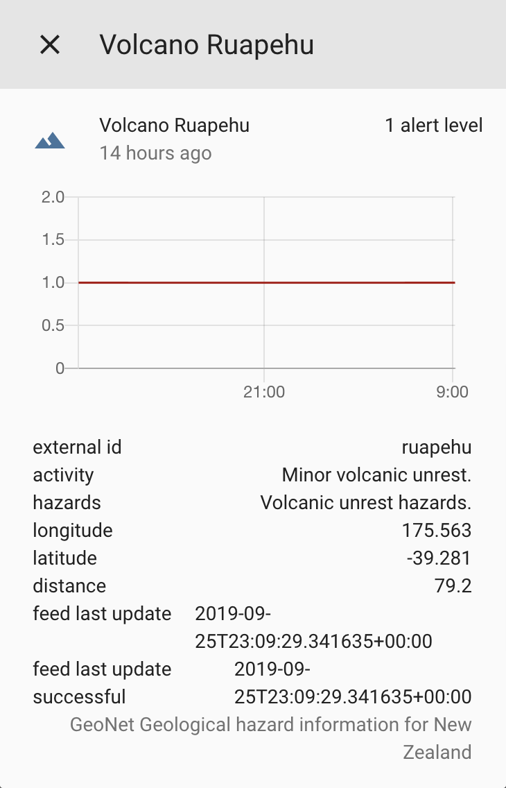
from the feed. Each entity defines the volcanic alert level
The data is updated every 5 minutes.
The material used by this integration is provided under the Creative Commons Attribution 3.0 New Zealand (CC BY 3.0 NZ) license
We acknowledge the New Zealand GeoNet project and its sponsors EQC, GNS Science and LINZ, for providing data/images used in this integration.
配置
要将 GeoNet NZ Volcano service 添加到您的 Home Assistant 实例中,请使用此 My 按钮:

如果上述 My 按钮不起作用,您也可以手动执行以下步骤:
-
浏览到您的 Home Assistant 实例。
-
转到
设置 > 设备与服务。 -
在右下角,选择
Add Integration 按钮。 -
从列表中选择 GeoNet NZ Volcano。
-
按照屏幕上的说明完成设置。
State attributes
The following state attributes are available for each entity in addition to the standard ones:
| Attribute | Description |
|---|---|
| latitude | Latitude of the volcano. |
| longitude | Longitude of the volcano. |
| external_id | The external ID used in the feed to identify the volcano. |
| activity | Volcanic activity. |
| hazards | Most likely hazards. |
| distance | The distance in km or mi to Home Assistant’s location. |
| last update | Timestamp of the last update from the feed. |
| last update successful | Timestamp of the last successful update from the feed. |
Full configuration
# Example configuration.yaml entry
geonetnz_volcano:
  radius: 100
  latitude: -41.2
  longitude: 174.7